ATGT is an acknowledged expert in aerial & spatial observation. We use planes, helicopters, drones and satellites to provide the best assistance for land management. We use the LIDAR technology, high precision cameras and digital imaging.
Aerial Technologies
Aerial Observation for greater relevance
Digital Terrain Model (DTM)
The DTM is a representation of the bare land only: no buildings, no vegetation, no construction work. We use the data to prevent water flows and flooding.
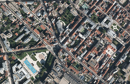
Orthophotos
ATGT can generate orthophotos from the DTM to show details of the physical environment. We use a set of pictures corrected by the DTM with all the geographic qualities of a map.
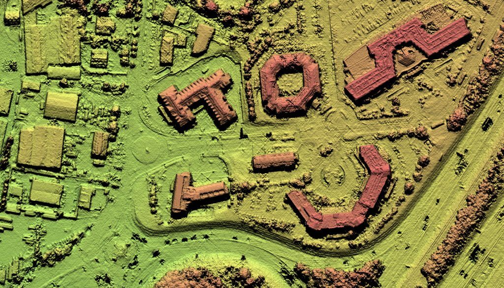
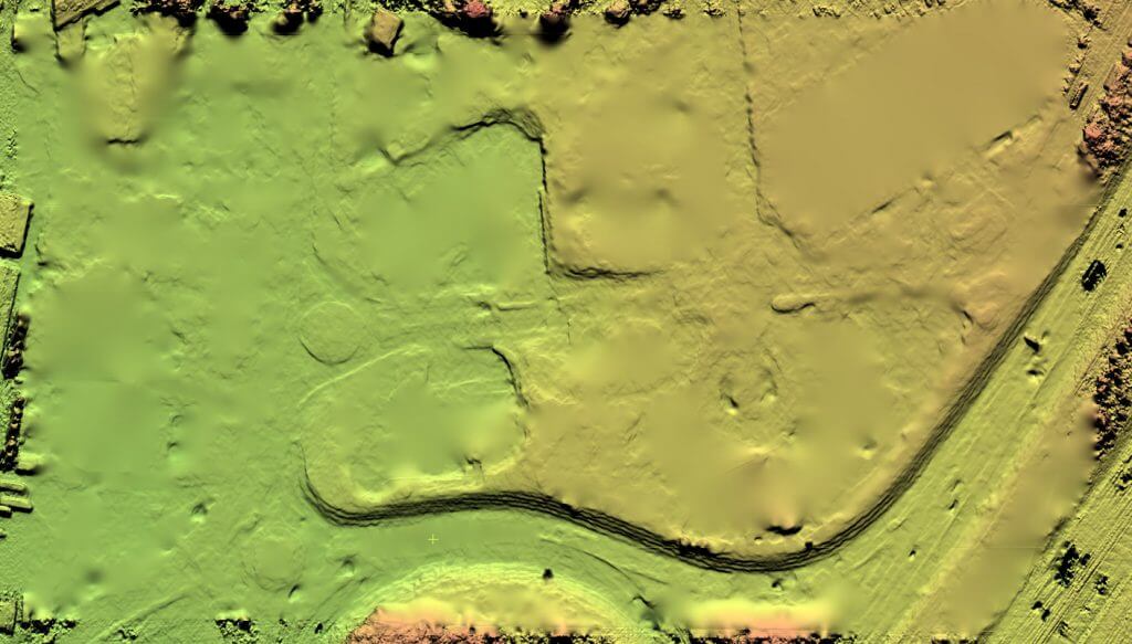
Digital Surface Model & Digital Elevation Model (DSM/DEM)
DSM & DEM deliver a 3D picture of the ground surface, including all items on the ground surface: buildings, vegetation and construction work.
LIDAR (LIght Detection And Ranging)
Lidar technology can provide a 3D model for any type of environment. LIDAR can measure the distance between the power lines and the vegetation. We can then draw a risk assessment map and schedule the pruning of the vegetation.

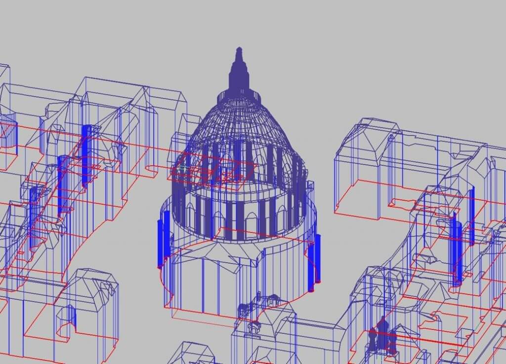
3D Modeling
3D models digitally show the building structure, the housing complex or the entire town in its environment. 3D models capture reality and enable the client to get a global view of any development project in its real environment.
Services
ATGT is fully committed to data sharing. We offer Web Share applications which give you access to point clouds, images and databases from any computer. No specific software is required.