Using bathymetric data, we can get a precise description of sea beds, river floors and sanitation facilities (transport, capture, etc.). We can accurately measure the sedimentation rate and monitor its fluctuations. It’s a great additional tool for topographic surveying.
Bathymetry
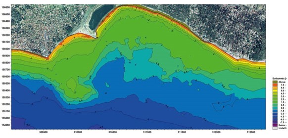
Bathymetry... and the sea beds are speaking
Operational on any terrain
ATGT provides Digital Surface Models (DSM) where you can see the water floor and the non-emerged surfaces.
ATGT can explore any site or terrain by means of single frequency sonars, multi beam sounders & multi-frequency devices. When it comes to larger areas, we use the Optech lidar technology for aerial bathymetric data acquisition.